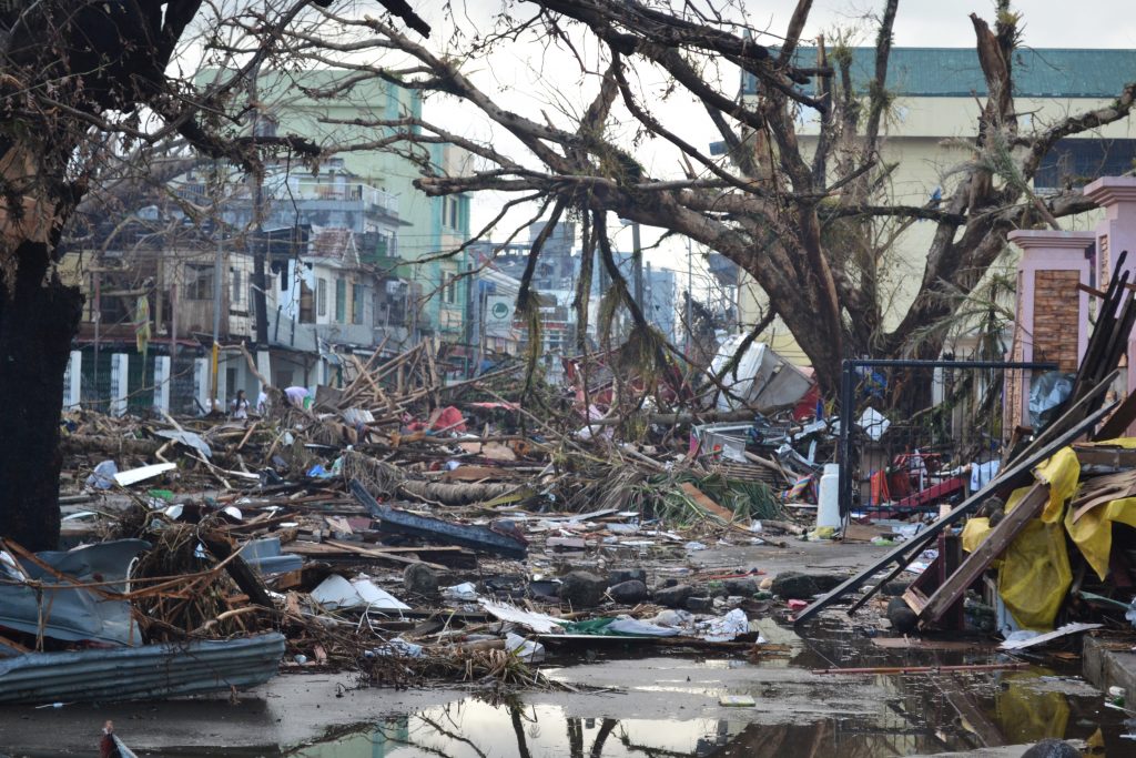
Super Typhoon Haiyan (called Yolanda by many in the Philippines) struck land on Thursday November 7th. It may have been the strongest tropical cyclone on record to make landfall.
There are several ways in which climate change strengthens typhoons like Haiyan and their impacts, and will continue to do so in the future, including:
- Sea level rise increases the destructive power of storm surges. The Philippine city of Tacloban experienced a storm surge of up to 5.2 meters (~17 feet), representing some of the most deadly flooding of typhoon Haiyan. Climate change has already contributed about eight inches to global sea level rise, and this will continue to worsen the impacts of typhoons through higher storm surges.
- Sea surface temperatures fueled typhoon Haiyan by increasing available energy and water vapor. Hurricanes and typhoons can form if the sea surface temperature is above about 28ºC, or about 82ºF. Sea surface temperatures near the Philippines were 30ºC, one half to one full degree C above the 1985-1993 average for the region (baseline years which themselves are warmer than the longer-term average). For context, 2012 global surface temperatures were 0.6ºC above long-term averages. Sea surface temperatures have been steadily increasing around the world’s oceans and are projected to continue to rise. More research is needed to fully understand the causal relationships, but scientists are actively studying the ongoing correlation between these trends.
- Extreme rain is a threat in the mountainous Phillippines, as it can cause dangerous flash floods and landslides. Haiyan deluged a huge swath of the Phillippines with over nineteen inches of rain, with a peak amount of over twenty-seven inches located over the southeast corner of Leyte Island. Climate change is projected to increase the precipitation associated with tropical cyclones by 20% by the end of the century.